



Topographic services
From plan to terrain without errors or surprises
In traditional surveying, the office was the physical space where all “office” work was performed. At Ofiteat we take that notion one step further, making our office projects one more resource to avoid unforeseen costs: a functional solution to make the development of all types of surveying projects more efficient.
The problem
In the vast majority of engineering and construction works, it is common, when the awarded project begins, for us to find topographical differences not foreseen in the plans.
This reality, to which we are so accustomed, generates:
- Technical difficulties
- Delays in deadlines
- Budget overruns
This means that, when a company competes for the award of any project, it usually finds mismatches between what the plans reflect and reality. And these imbalances can represent an added difficulty when it comes to offering a competitive budget and realistic construction deadlines. It fully affects the specific technical specifications and the price table.
The Ofiteat solution
We propose a new previous stage in the process: the cabinet project. It consists of carrying out previous topographic analyzes on the ground to detect possible mismatches between a construction project and the reality on the ground, and thus be able to resolve these mismatches before reaching the layout and earthwork phases.
Our value proposition consists of analyzing, even before presenting a proposal, the adequacy between the measurements and parameters reflected in the construction project plans, on the one hand, and on the other hand, the dimensions, volumes, dimensions, location of services. underground and other topographic features on the actual ground surface.
This means, for the company that aspires to be awarded a works project, treading on safety. The bidder…

You will know better the real circumstances you will face if you become a successful bidder.

It will minimize the risks due to calculation errors that usually occur in the preparation of budgets and calendars
You will have more possibilities to participate in economically profitable projects, avoiding additional expenses
How do we do it?
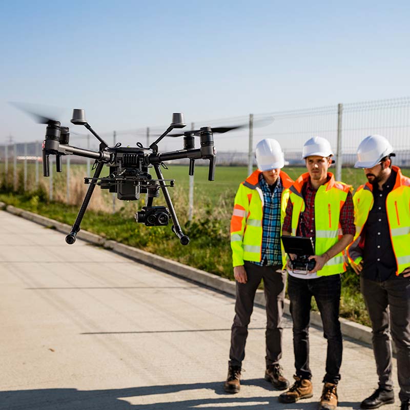
To do this, our team of professionals travels to compare the data collected in the project on the spot. We use all the technical tools at our disposal, from the most emblematic in our area, such as our advanced drones and our specialized state-of-the-art software solutions.
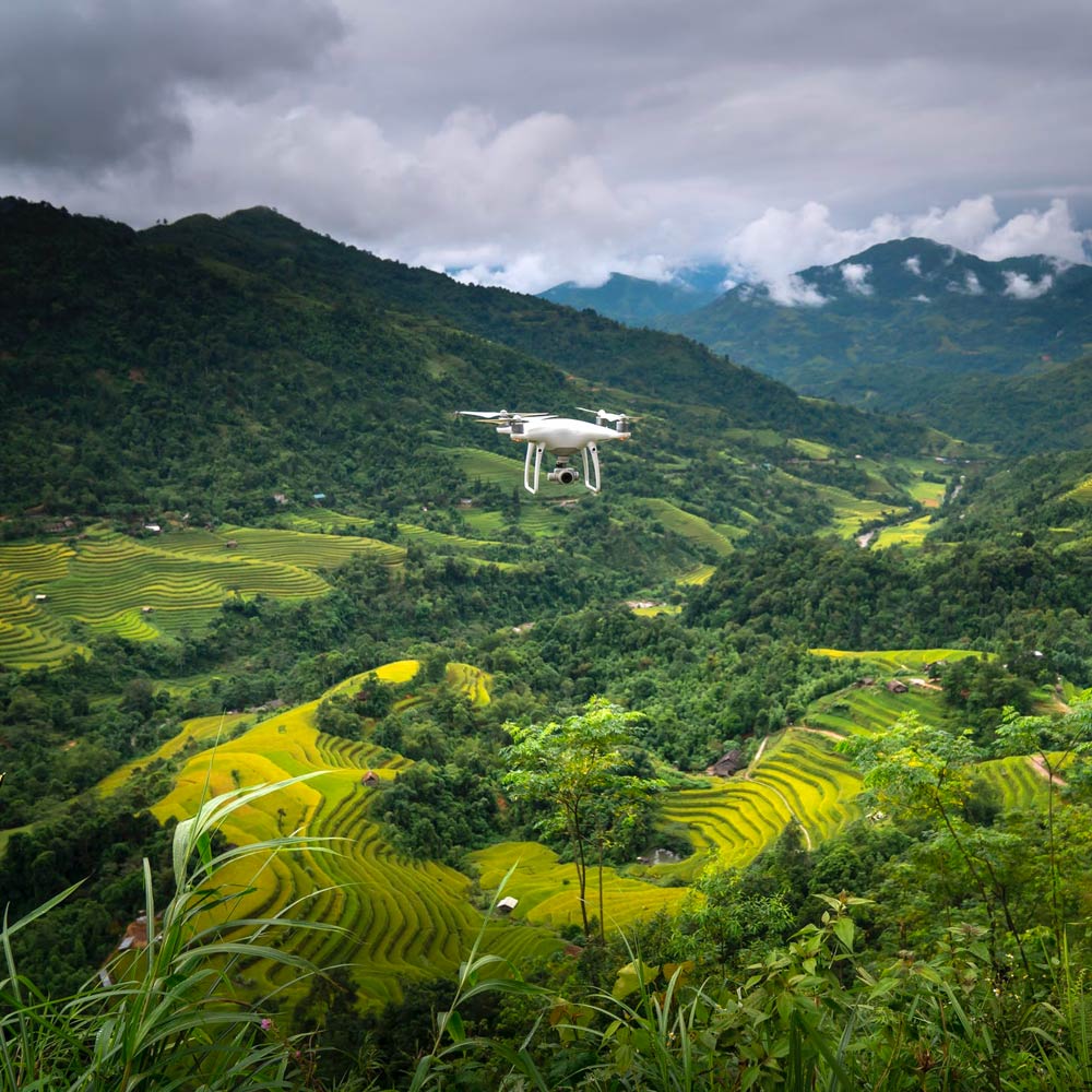
The use of drones has demonstrated exceptional performance, through photogrammetry, with very positive results in terms of precision and reliability. Our pilots have both the specific UAV-RPAS training required in these cases, as well as two decades of experience in topographical work.
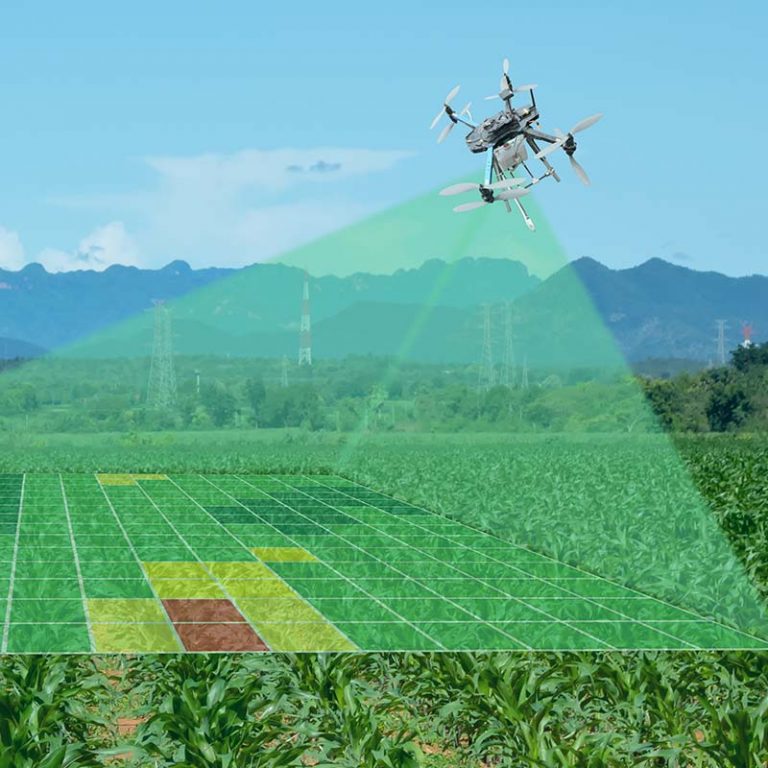
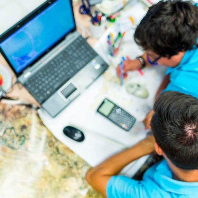
We contrast the initial data of the project with the data obtained by our team, subjecting them to a rigorous analysis with advanced technological tools and obtaining conclusive results that we present in the form of plans and reports. This helps us to propose very precise specific scenarios, such as the work necessary in earthworks for the installation of a photovoltaic plant.
Request a free quote
If you would like us to study your project, you can get in touch by phone, email, or fill out the contact form. If you prefer, you are welcome to visit us at our offices in Spain, Chile or Japan.