
The OFIMONITOR Geoportal

A project management platform

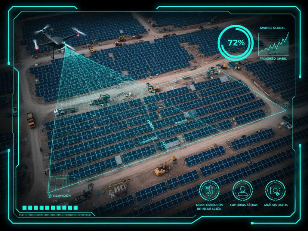
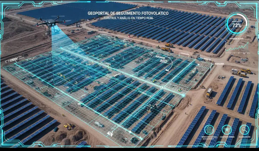
OFIMONITOR is a highly useful digital tool for construction monitoring and control. Its main function is to centralise the management of data captured by surveyors and drones, providing real-time access to project information. This allows managers, engineers and investors to monitor progress from anywhere, streamlining decision-making.

[ AI-POWERED ANALYSIS ]

Progress monitoring and automated analysis

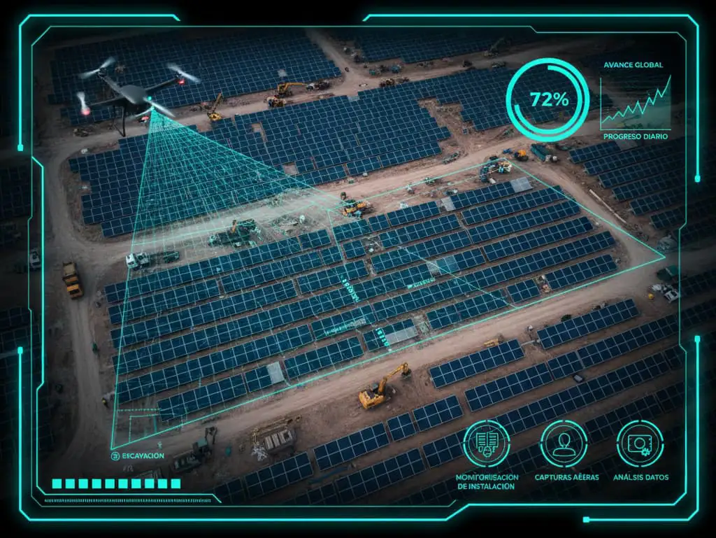
The system uses artificial intelligence (AI) image analysis to quantify construction progress. This technology automatically recognises and classifies elements such as solar panel installation, foundation work and infrastructure. This drastically reduces manual analysis time and ensures real-time progress updates.

OFIMONITOR presents progress on a detailed dashboard, displaying data tables, for example, the total planned, completed or pending for various elements, such as roads, fences, pile driving, rows, modules, etc.
Progress monitoring and analysis
[ SYSTEM ADVANTAGES ]

Report generation

One of the key advantages of the geoportal is its ability to generate reports quickly and in different formats. Among the types of reports available are:

  • General reports in PDF.
  • Detailed reports by sector in XLS (spreadsheet) format.
  • Earthwork calculation reports, including fill and cut volumes.

OFIMONITOR allows generating these reports in just three clicks and offers the option to configure and download a report with a preset format.

System geoportal
[ PORTAL STORAGE ]

Image and video geolocation

OFIMONITOR enables the geolocation of photographs and videos, which are stored on the portal's servers. This means that every image and video captured, especially those taken by drones, is linked to an exact geographic location, making visual analysis and precise referencing of each project element easier.

[ ANALYSIS TOOLS ]

Visualisation and analysis tools

The OFIMONITOR Geoportal provides a variety of tools for visualising and analysing data:

Multi-temporal analysis: Enables comparison of historical orthophoto records with current images to see project progress over time. It is even possible to create "Time-Lapse" videos to record construction progress.

3D visualisation: Enables three-dimensional visualisation of surfaces. Surfaces can be compared simultaneously to assist in decision-making.

Earthwork calculation: The platform calculates earthwork volumes and generates reports, as well as cut and fill charts.

Longitudinal profiles and sections: Enables visualisation of longitudinal section profiles and comparison of surface profiles.

Key advantages of the OFIMONITOR Geoportal

OFIMONITOR offers a range of advantages that significantly improve project management:

Centralised data management and real-time access

Stores and manages aerial data centrally, ensuring all stakeholders have access to the most up-to-date information without the need for local copies.

Automated progress monitoring

AI-powered image recognition enables automatic detection and classification of construction elements, reducing manual analysis time and ensuring real-time updates.

Multi-temporal analysis

Enables comparison of historical and current images to assess construction progress and milestones over time.

High-resolution visualisation

The portal supports high-resolution aerial imagery and LiDAR data, providing detailed information on site status.

Integration with BIM and CAD systems

The platform can be linked with BIM and CAD software, allowing engineering plans to be overlaid on georeferenced aerial images.

Customisable reports and dashboards

Provides customised visual reports and analyses, improving project communication and transparency.

Risk management and compliance

The ability to overlay aerial images with regulatory data helps ensure compliance with local regulations and reduce construction risks.

Cost and time efficiency

By reducing the need for on-site inspections and manual data processing, the platform optimises project supervision, minimising costs and accelerating construction timelines.

[ SHALL WE TALK? ]

Take your project to the next level

Contact us with no obligation and discover how our experience in drone surveying can bring precision, savings and security to your next project.

Request a quote