 ES
ES 
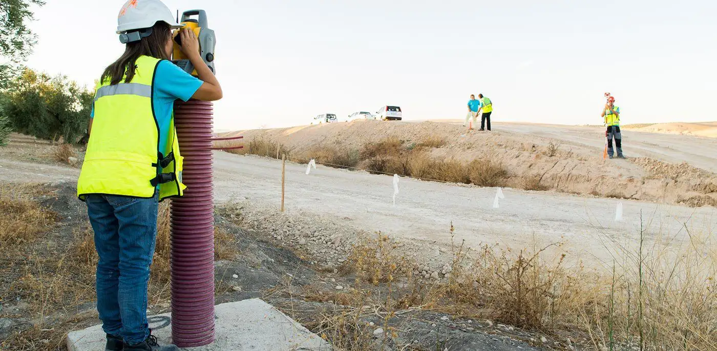
Topographic surveys
Technical resources and an expert surveying team
At Ofiteat we have all the technical and human resources necessary to carefully collect the physical, geographical and ecological characteristics of the area where any construction or building project is to be carried out, as well as any existing alterations to the terrain that could affect their development.
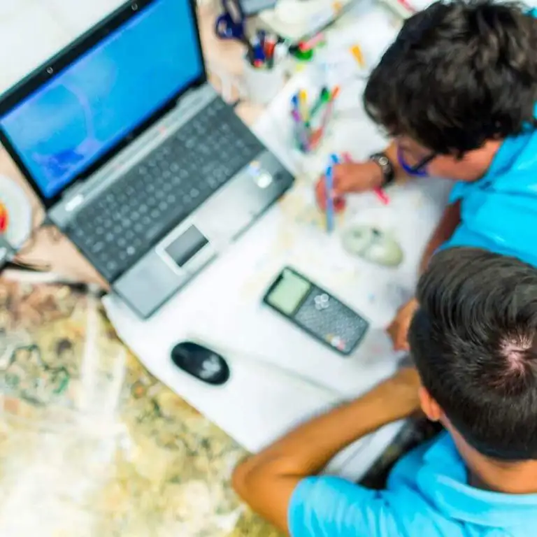


Why choose Ofiteat to carry out your topographic survey?
Because our team specialises in producing topographic land surveys aimed at defining in full detail the topographic specifications of the area, as well as the restrictions and technical requirements that must be met in order to comply with current regulations.
Because our team specialises in producing topographic land surveys aimed at defining in full detail the topographic specifications of the area, as well as the restrictions and technical requirements that must be met in order to comply with current regulations.
We have been offering our topographic survey service across 3 continents for over two decades, which has given us international expertise that is hard to find in such a specialised sector.
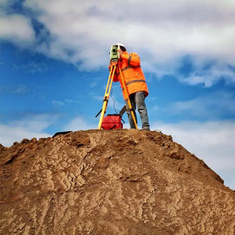
Construction surveying
Carrying out a topographic study before starting any construction project is essential if you want to avoid all kinds of unforeseen events, both during the development of the works and once they have been completed.
At Ofiteat we have over 20 years of experience carrying out all kinds of construction surveying services that have allowed our clients to determine more clearly the objectives, specifications, technical requirements and restrictions of their project, with the aim of complying with current regulations and achieving maximum profitability.
After carrying out all the relevant analyses on the area that the project will cover, we will lay out the ground conditions that could affect the development or outcome of the works. In this way, we can redirect the project or make the necessary adaptations before it is too late.
At Ofiteat we have worked in all kinds of extreme conditions, from ice to snow, mountains and even deserts. And each one of these projects has been a resounding success.
Drone surveying
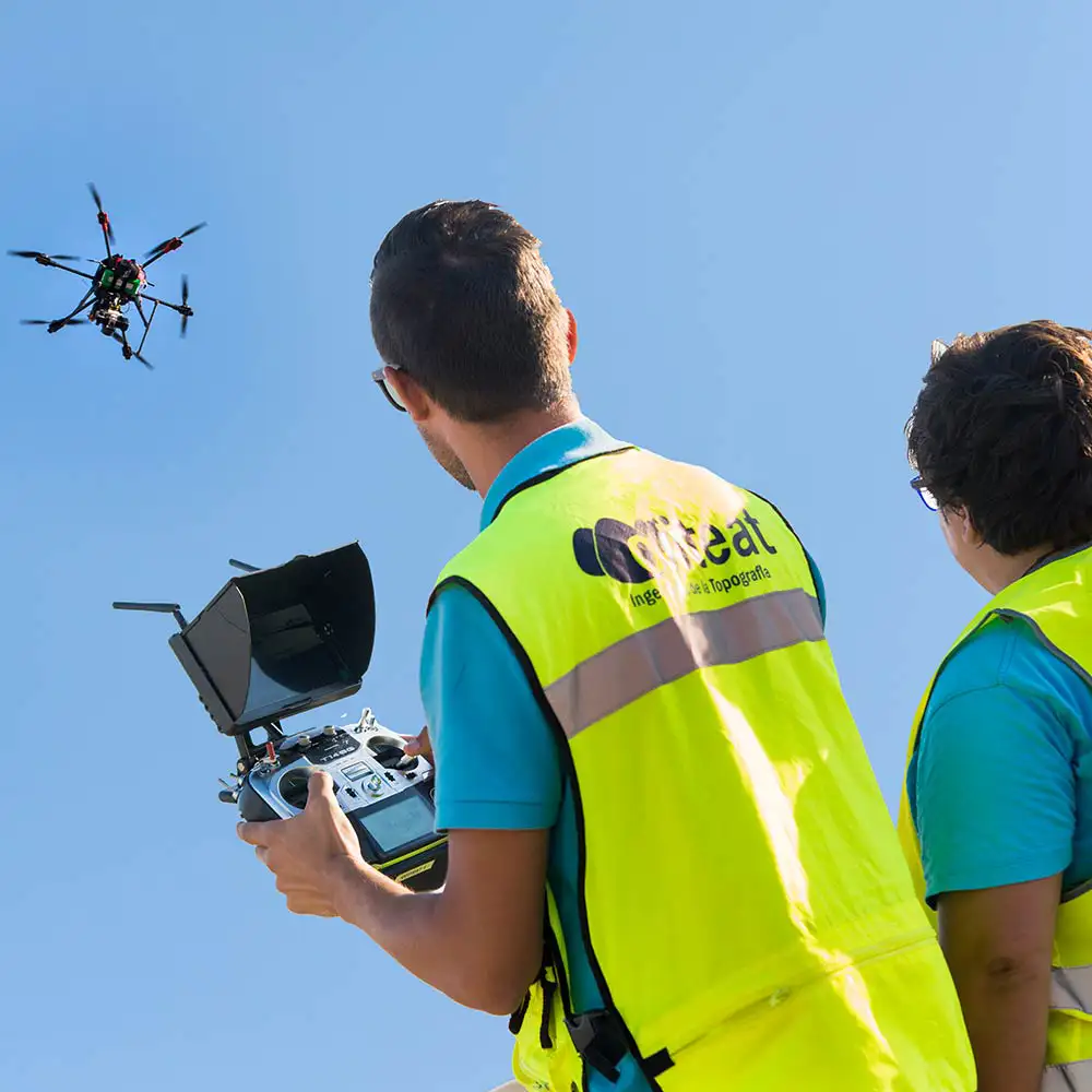
At Ofiteat we have always chosen to invest in innovation, and proof of this is that we are pioneers in incorporating drones into surveying. Since their emergence at a commercial and civilian level, we identified the potential of these tools for the performance of our surveying services. Today, we can say that they allow us to optimise resources, performance and offer solutions fully tailored to our clients.
There is a good range of applications of drones to surveying that help reduce operational and logistical costs and promote the viability of all kinds of construction projects. The incorporation of our own drone fleet, assembled by our expert staff using the best systems on the market, allows us to offer a full catalogue of drone surveying services, including:
- Topographic surveys.
- Site inspections and project progress monitoring.
- Thermal and/or thermographic inspections.
- Power line inspections.
- Corporate dissemination and marketing.
Discover more about all our drone services: here
Construction stakeout
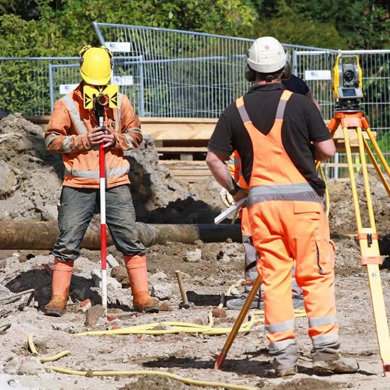
The Ofiteat team has 20 years of experience carrying out construction stakeouts in various parts of the world, always focusing on making the most of available resources while making the necessary adaptations to each project to ensure its success.
We have highly advanced technological equipment to carry out topographic land surveys and other data collection tasks that will allow us to precisely define the objectives and specifications of the project, as well as the requirements and restrictions that may need to be applied to comply with current regulations.

 |
 |
Soluciones Globales de Negocio has been a beneficiary of the European Regional Development Fund, whose objective is to improve the use and quality of information and communication technologies and access to them, and thanks to which it has been able to optimize its management system and contact with its workers through its new mobile application. This action took place during 2022. To this end, it has had the support of the TICCámaras program of the Chamber of Linares.