 ES
ES 
Surveying Consultancy
From plan to ground without errors or surprises
In traditional surveying, the office was the physical space where all the "desk work" was carried out. At Ofiteat, we take that concept a step further, turning our office projects into an additional resource to avoid unforeseen costs: a functional solution to make the development of all types of surveying projects more efficient.
The problem
In the vast majority of engineering and construction projects, it is common, when the start of the awarded project arrives, to encounter unforeseen topographic discrepancies in the plans.
This reality, to which we are so accustomed, generates:
- Technical difficulties
- Deadline delays
- Budget overruns
This means that, when a company competes for the award of any given project, it often encounters mismatches between what the plans show and reality. And those mismatches can pose an added difficulty when offering a competitive budget and realistic construction timelines. It directly affects the specific technical specifications and the schedule of prices.
The Ofiteat solution
We propose a new preliminary stage in the process: the office project. It involves carrying out prior topographic analyses on the ground to detect possible mismatches between a construction project and the reality on the ground, so as to resolve those mismatches before reaching the stakeout and earthmoving phases.
Our value proposition consists of analysing, even before a proposal is submitted, the alignment between the measurements and parameters reflected in the construction project plans, on the one hand, and the dimensions, volumes, elevations, location of underground utilities and other topographic features on the actual ground surface, on the other. This means, for the company seeking to be awarded a construction project, stepping on solid ground. The bidder…

You will better understand the real circumstances you will face if awarded the contract.

You will minimise risks due to calculation errors that often occur when preparing budgets and schedules.

You will have greater chances of participating in economically profitable projects, avoiding supplementary costs.
How do we do it?
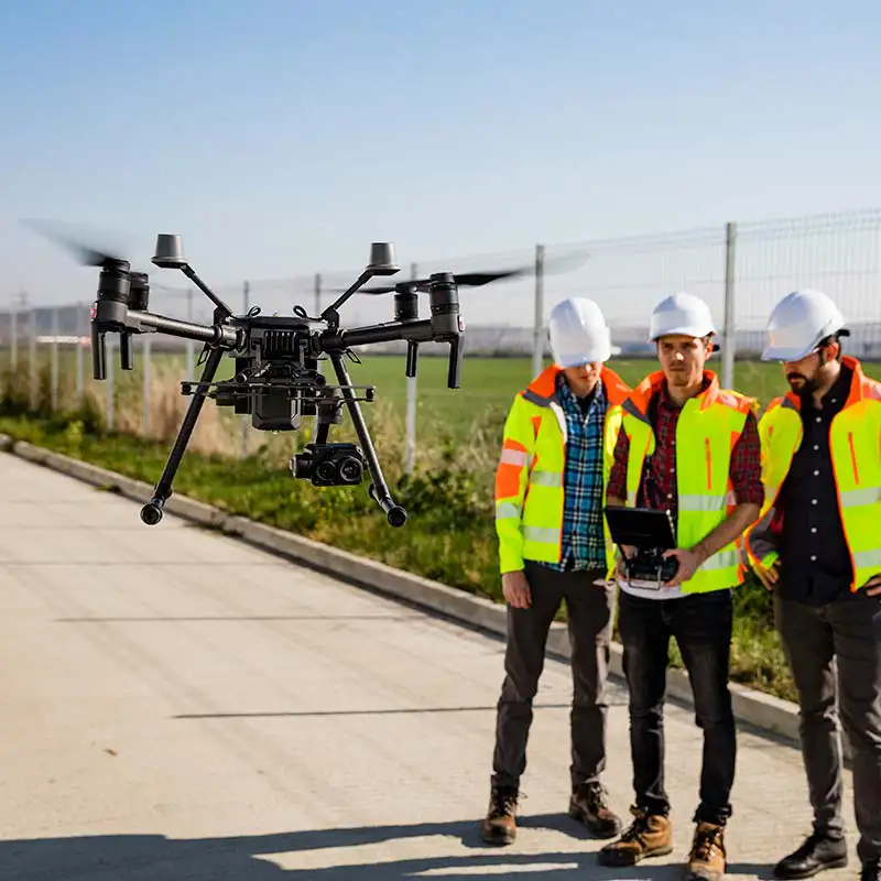
To do this, our team of professionals travels to the site to verify the data collected in the project against the actual terrain. We use all the technical tools at our disposal, from the most iconic in our field, such as our advanced drones and our specialised cutting-edge software solutions.
The use of drones has demonstrated exceptional performance, through photogrammetry, with very positive results in terms of precision and reliability. Our pilots have both the specific UAV-RPAS training required in these cases and two decades of experience in surveying work.
Technical service approach
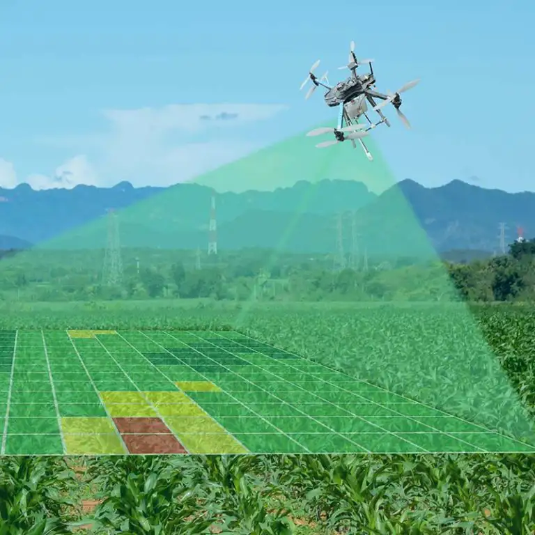
We cross-check the initial project data with the data obtained by our team, subjecting them to rigorous analysis with advanced technological tools and obtaining conclusive results that we present in the form of plans and reports. This helps us to set out very precise specific scenarios, such as the work required in earthmoving for the installation of a photovoltaic plant.


 |
 |
Soluciones Globales de Negocio has been a beneficiary of the European Regional Development Fund, whose objective is to improve the use and quality of information and communication technologies and access to them, and thanks to which it has been able to optimize its management system and contact with its workers through its new mobile application. This action took place during 2022. To this end, it has had the support of the TICCámaras program of the Chamber of Linares.